You hit a paywall. Here’s the context on this topic based on publicly available information. We did not access any paywalled content. View original article.
Nairobi's Flooding Crisis Rooted in Historical Development
- Nairobi was originally established in the late 19th century as a swampy area by railway engineers, including Richard Owen Preston, making it prone to flooding from the start.
- Recent heavy rains, such as those in March 2026, have highlighted how decades of urban expansion under various leaders have worsened the city's vulnerability to floods.
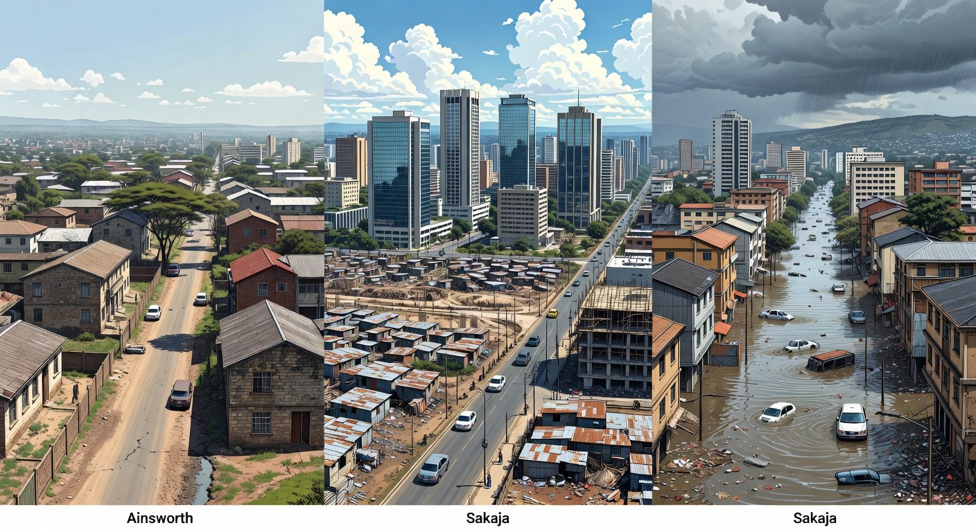
From Ainsworth to Sakaja: How Nairobi built a flood disaster · Image: Grok AI
Full Summary — powered by AI
Nairobi, Kenya’s bustling capital, has long grappled with flooding issues that trace back to its early days as a colonial settlement. The city’s location on what was once described as a swampy, uninhabited landscape has inherently made it susceptible to water accumulation during heavy rains. Over time, rapid urbanization and inadequate infrastructure planning have turned this natural vulnerability into a recurring disaster, affecting millions of residents and disrupting daily life.
Historically, Nairobi’s development began in the 1890s with the construction of the Uganda Railway, which ignored the area’s flood-prone terrain. This oversight, combined with population growth and poor drainage systems, has led to severe flooding events in recent years. For instance, experts note that unchecked urban sprawl and deforestation in surrounding areas have exacerbated runoff, overwhelming the city’s outdated stormwater management. Current efforts by local authorities aim to address these challenges, but reversing the damage could take decades, requiring significant investment in resilient infrastructure.
This ongoing crisis underscores the broader implications of climate change and urban planning in Africa, where many cities face similar risks. As rainfall patterns become more unpredictable, understanding Nairobi’s historical context is crucial for developing sustainable solutions that protect communities and economies. The human toll is evident, with thousands displaced and economic losses mounting, emphasizing the need for proactive measures to prevent future catastrophes.
Read More (Free Sources)
- Nairobi flooding disaster history — AP News — AP News
- Nairobi flooding disaster history — NPR — NPR
- Nairobi flooding disaster history — BBC — BBC